Data Orchard now supplies a unique map to the Welsh Government
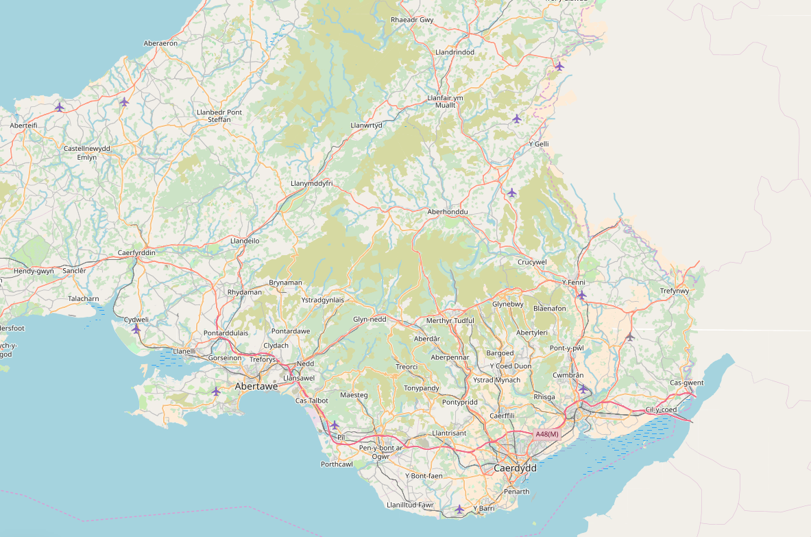
The Welsh-language only basemap as seen on Data Map Wales.
Data Map Wales is a recent Welsh Government service that allows people to search and visualise geographic data about Wales.
Users can select a range of different basemaps over which they can lay the data they are investigating.
For the first time this service now offers a basemap that only shows place names as they are used in the Welsh language.
Other services offer a mix of Welsh-language and English-language names or English only.
This service is delivered as part of our Mapio Cymru (“Mapping Wales”) project. The project also provides a Welsh-language only digital map of Wales that is free to use at openstreetmap.cymru and provides consultancy and advice services to help organisations improve their digital mapping services in Welsh and English.
If you are interested in how we can help you with Welsh-language mapping data or with other data challenges, get in touch now.